 |
 |
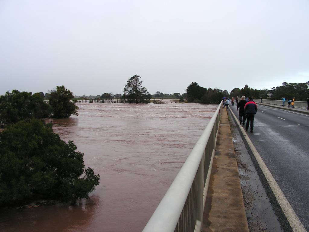
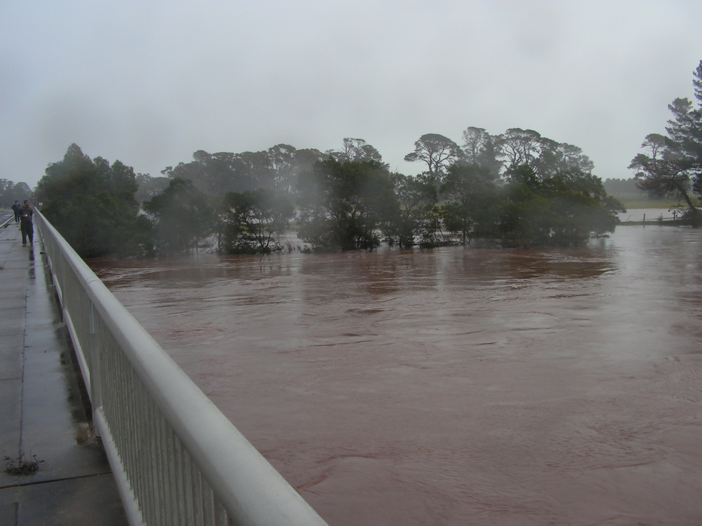
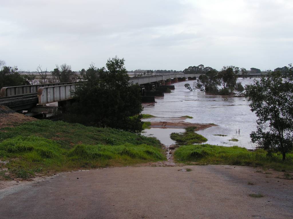
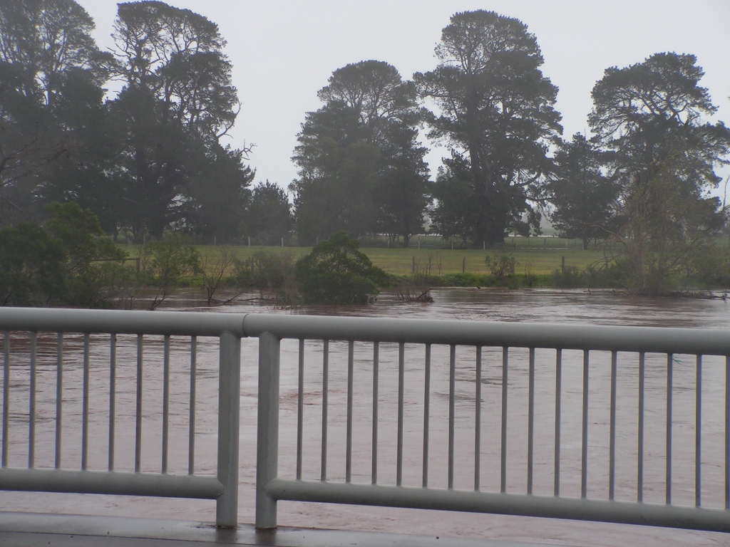
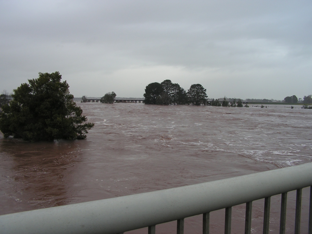
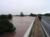
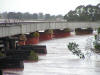
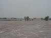
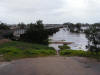
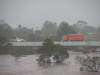
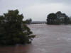
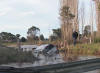
Left: A view from the Princes Hwy bridge over the Avon river
at Stratford, looking south toward Sale.
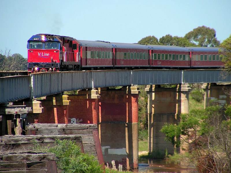
Right: Looking downstream toward the railway viaduct. |
 |
 |
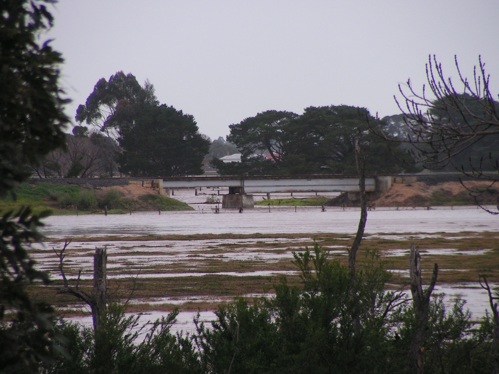
Left: For those not familiar with the normal river level at
Stratford, this photo shows one can usually expect to see under the railway
bridge. The water is generally shallow enough to walk across, knee deep.
Right: And here is the same view on June 28 at approximately 9:55am. |
 |
 |
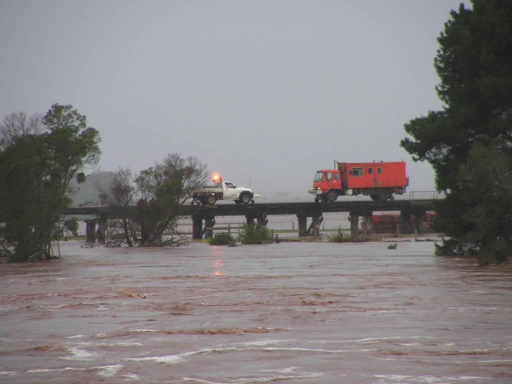
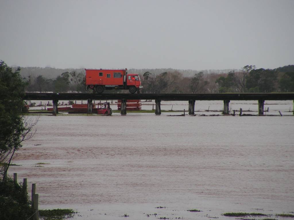
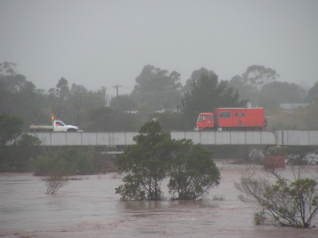
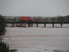
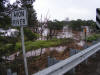
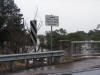
Two Hi-Rail vehicles slowly cross the 1888 railway bridge to
ensure it is coping with the water levels. |
 |
 |
The river level had already dropped around half a metre when
I took these photos between 9:30 and 10:15am |
 |
 |
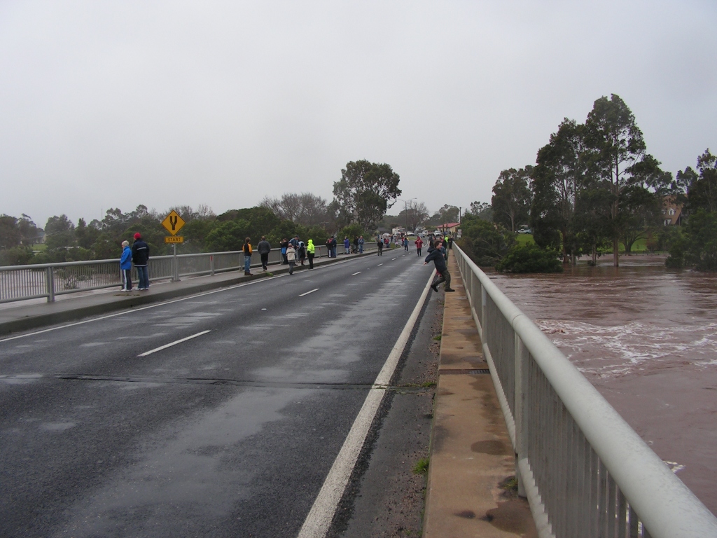
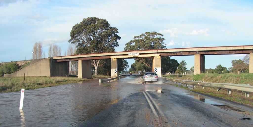
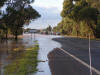
The highway was closed to traffic except larger trucks due
to water over the road a short distance south of the bridge. This also
allowed pedestrians to walk safely on the eastern edge of the bridge,
something not normally possible. |
 |
 |
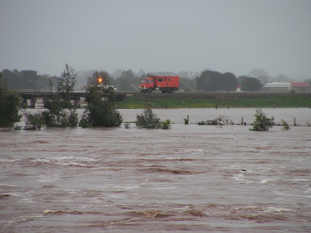
Hi-Rail vehicle on the trestle bridge. Note new railway
sleepers and a forklift sitting in the water. |
 |
 |
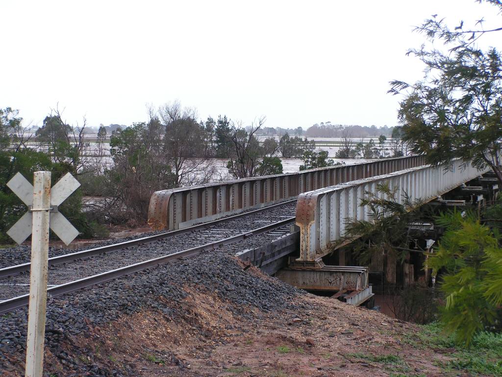
The town end of the railway bridge. Note the large amount of
water in the background. |
 |
 |
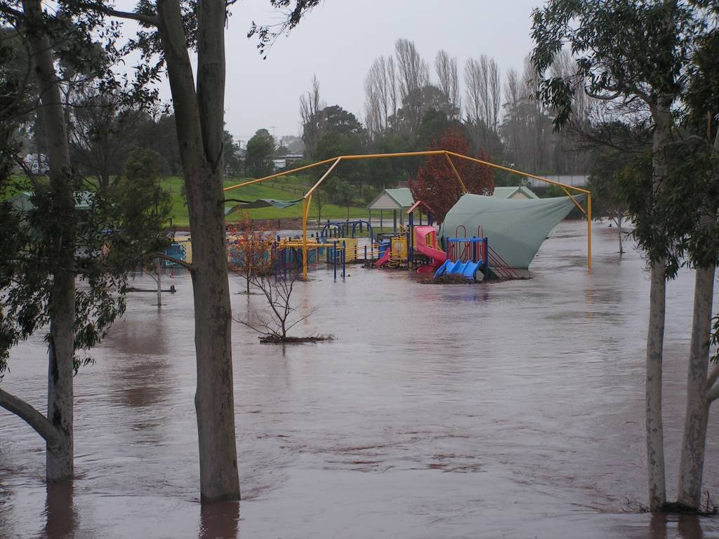
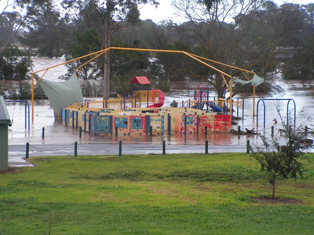
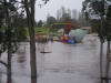
Apex Park, Stratford. The large shade cover had been
destroyed in Wednesday's gale-force winds. |
 |
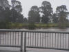 |
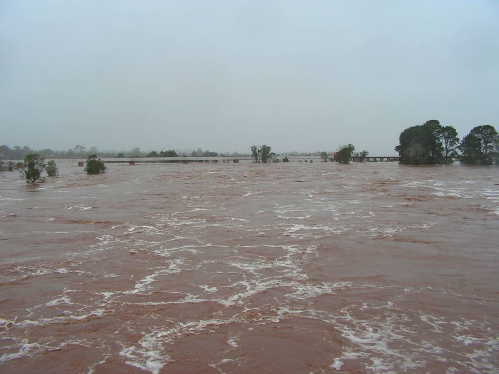
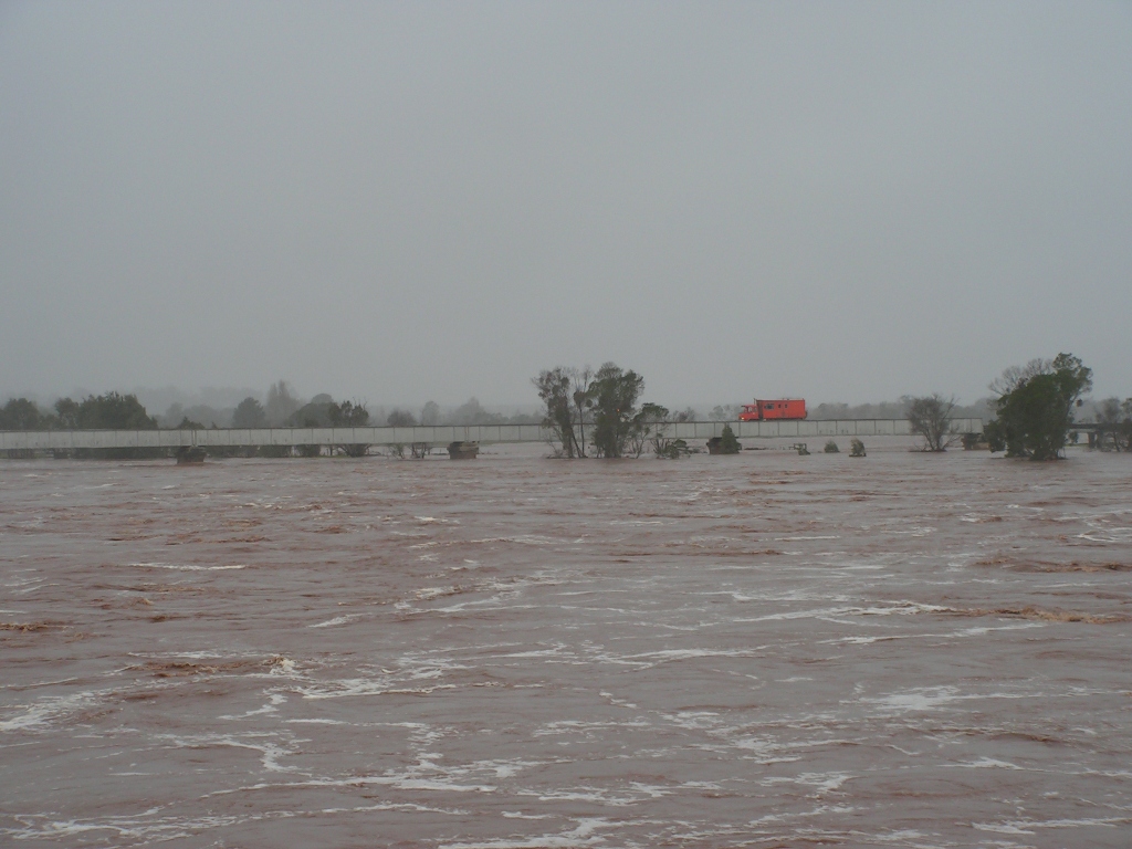
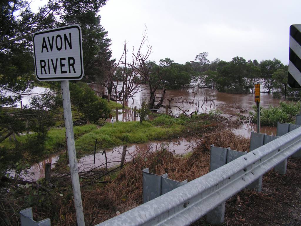
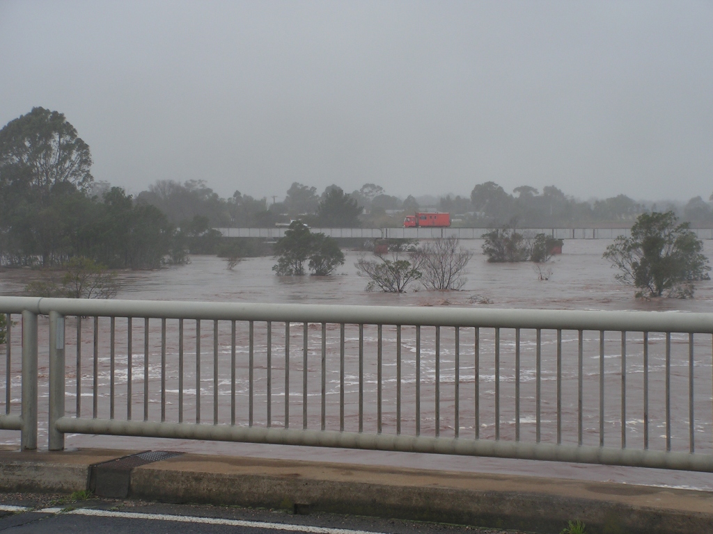
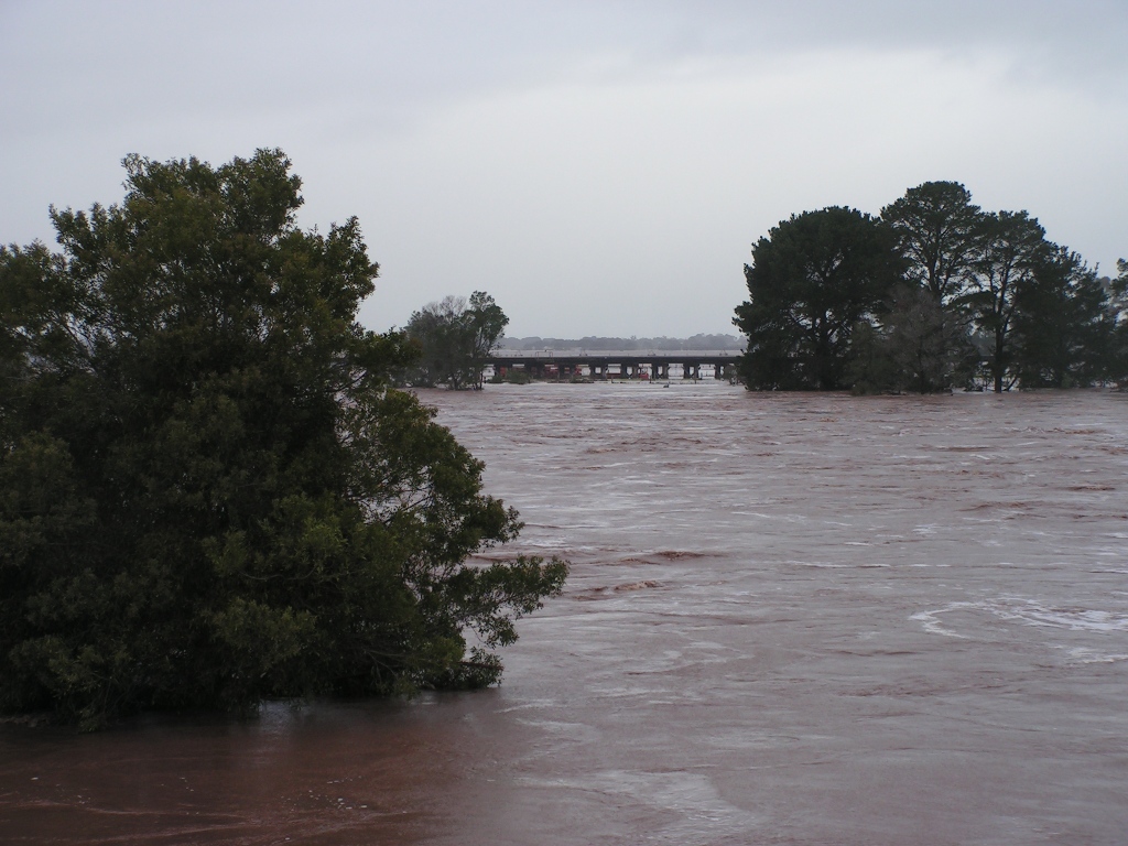
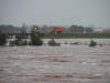
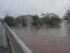
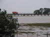
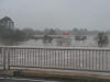
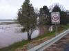
More views of the river from the highway bridge. Yes, it was
still raining as I took these photos. |
 |
 |
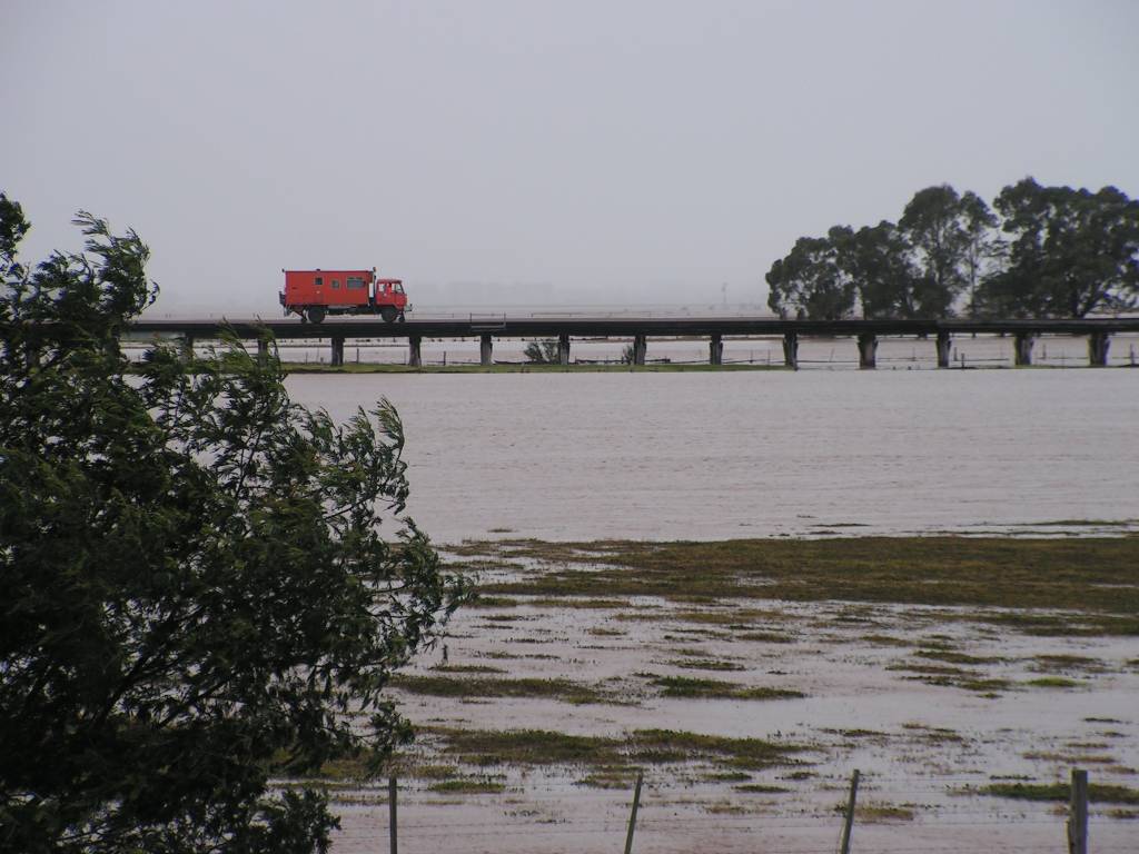
The Hi-Rail vehicles venture out onto the bridge once more. |
 |
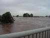 |
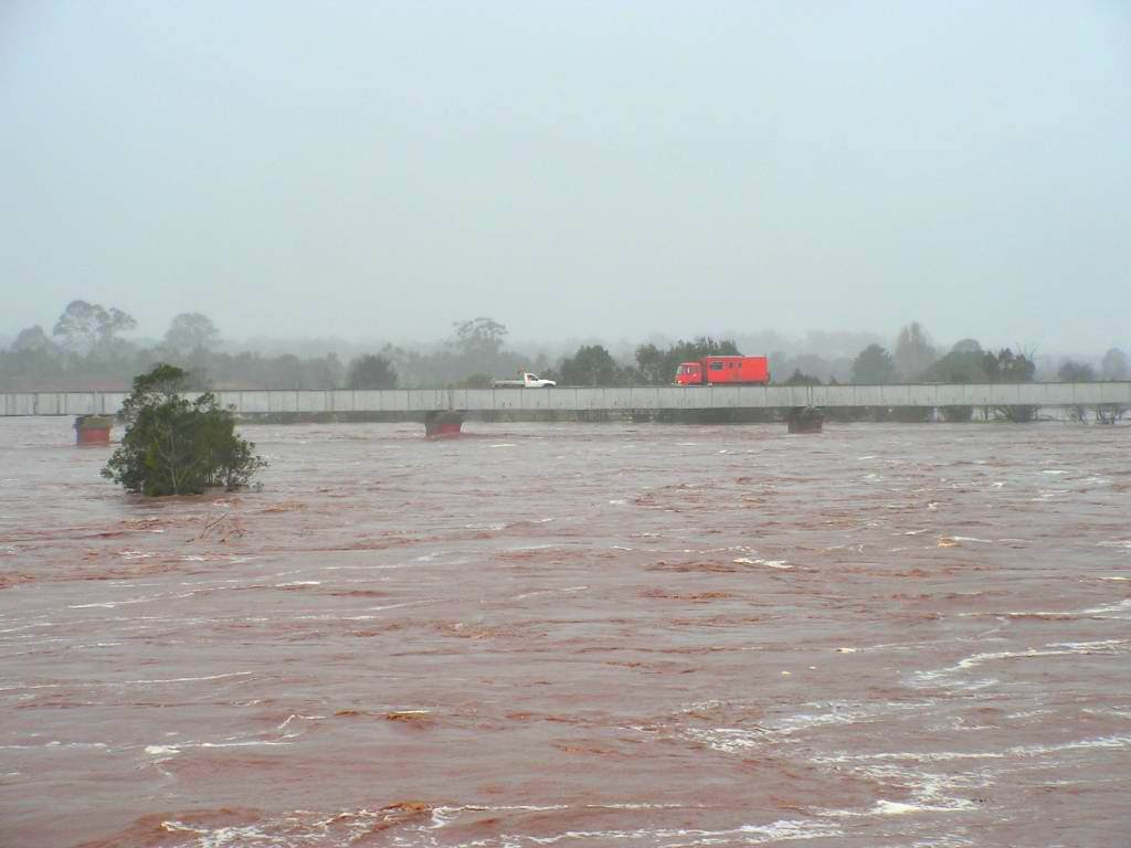
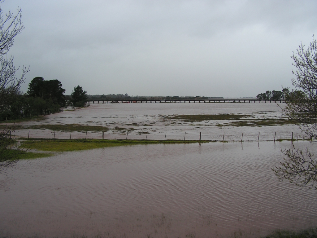
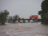
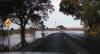
More views from the Princes Highway bridge.
Left: There is usually no water under the bridge at this point.
Right: Looking toward the railway trestle. The road bridge has 9 spans.
Normally only one has water beneath it. At this time, all 9 had water under
them. |
 |
 |
Left: Looking over what is usually dry land toward the
trestle bridge.
Right: The smaller rail bridge that was damaged in the 1990 flood. |
 |
 |
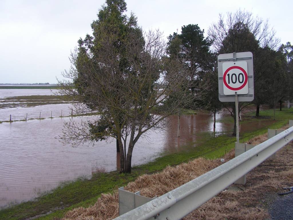
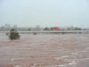
Two more views at the highway bridge showing (left) the
southern end of the bridge, looking upstream, and (right) looking south
toward Sale. |
 |
 |
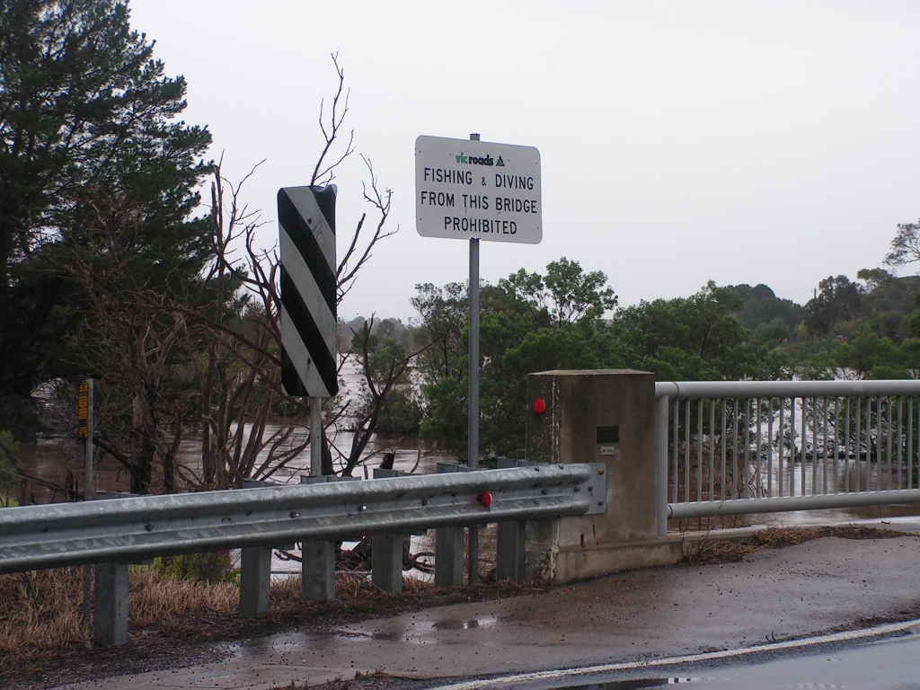
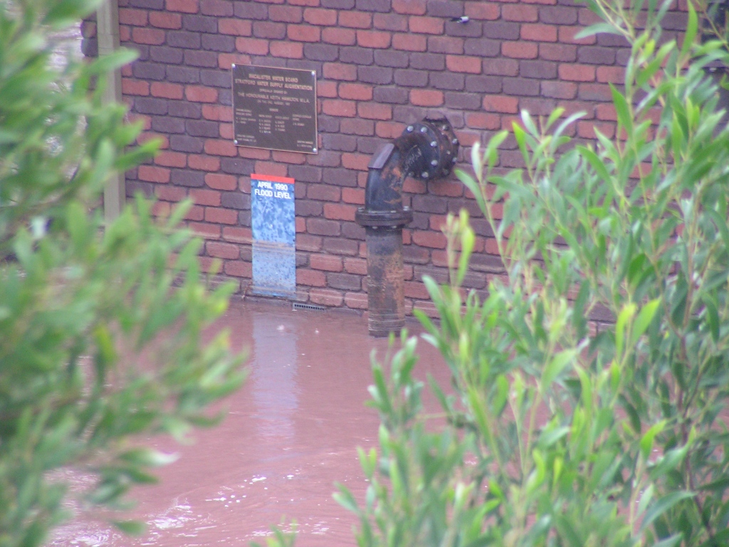
Left: The Trestle bridge as seen from the highway.
Right: April 1990 flood level mark. |
 |
 |
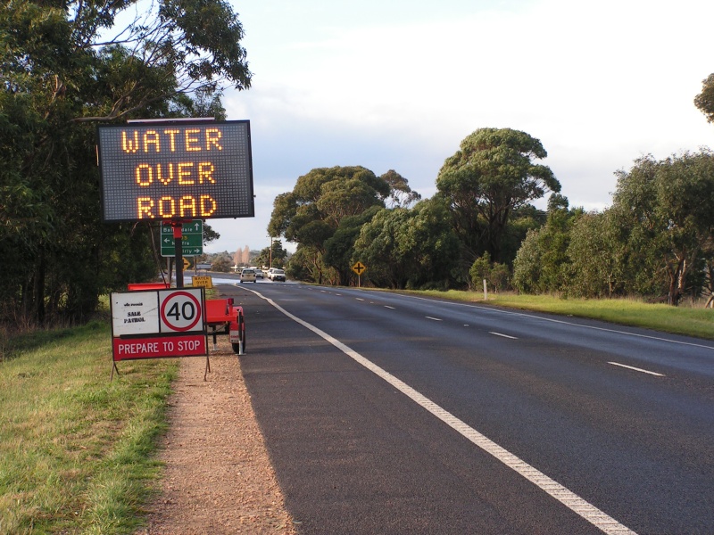
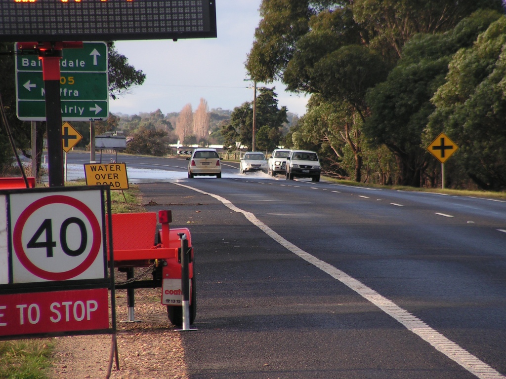
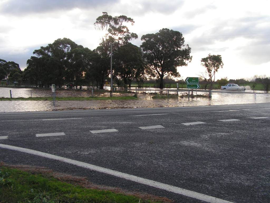
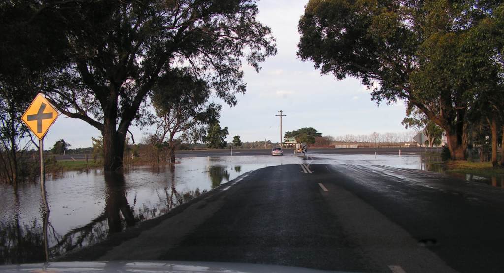
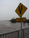
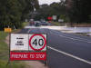
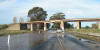
Variable Message Sign warning of water over the Princes Hwy
on June 30. The road was open to traffic on June 29 and it took several more
days before the water at this point had drained away. |
 |
 |
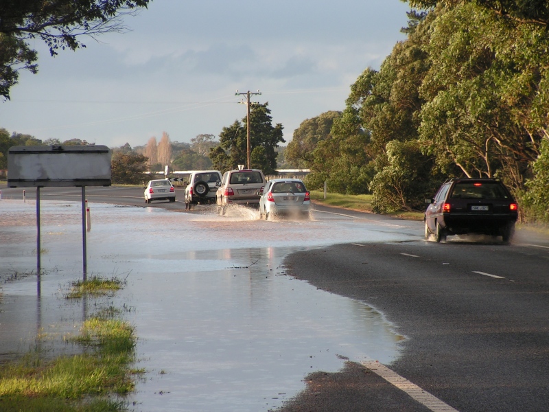
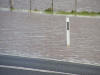
Two more views of the same section of road from each
direction. Water is flowing back toward the river and is about 5 - 10cm deep
at the shallowest side. |
 |
 |
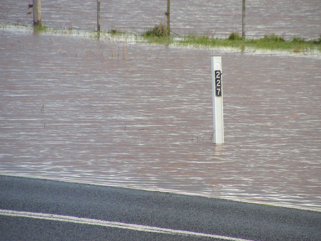
The 227 km post surrounded by water. |
 |
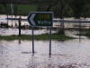 |
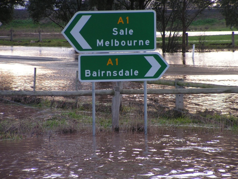
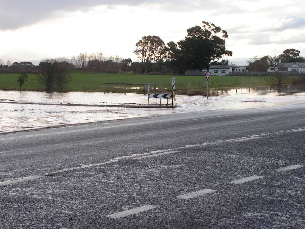
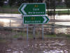
Signs at the Princes Hwy / Airly Rd / Stratford - Maffra Rd
intersection. |
 |
 |
Traffic island on Stratford - Maffra Rd takes on a new
meaning. The island also acted as a dam wall, keeping the water much deeper
(10 - 20cm) on the far side. Water is still there at the time of writing on
July 10. |
 |
 |
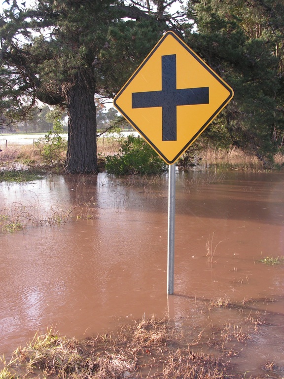
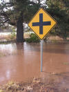
Left: Cross road sign on Princes Hwy.
Right: By July 2, the Stratford - Maffra Rd still had quite a bit of water
over it. Seen here under the railway bridge. |
 |
 |
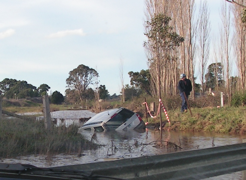
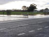
Left: No, they can't go everywhere. This 4WD was in the
water here for over a week before it could be retrieved.
Right: Water at the highway intersection. Still deep enough to be heard
lapping at the floor of my car as I drove through it at walking pace. |