 |
 |
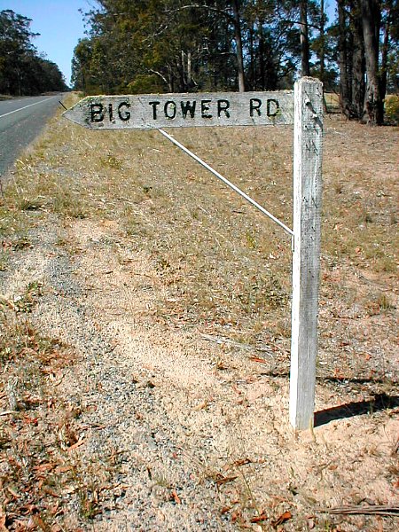
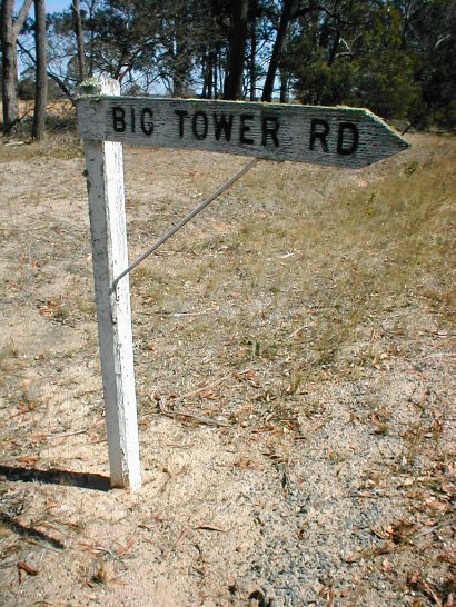
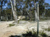
Wooden road name sign. Example of a once
common style of road name or direction sign. This one was rather low as you
can see from the photos taken standing beside it.
Darriman, Vic. |
 |
 |
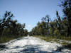 |
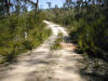
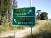
Harraps Hwy. This is probably Victoria's least known
and travelled highway. It's a highway in name only. In reality it is a bush
track, although, as the first photo shows, it does have its own
"interchange" of sorts.
Darriman - Stradbroke - Willung South area. Vic. |
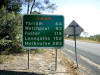 |
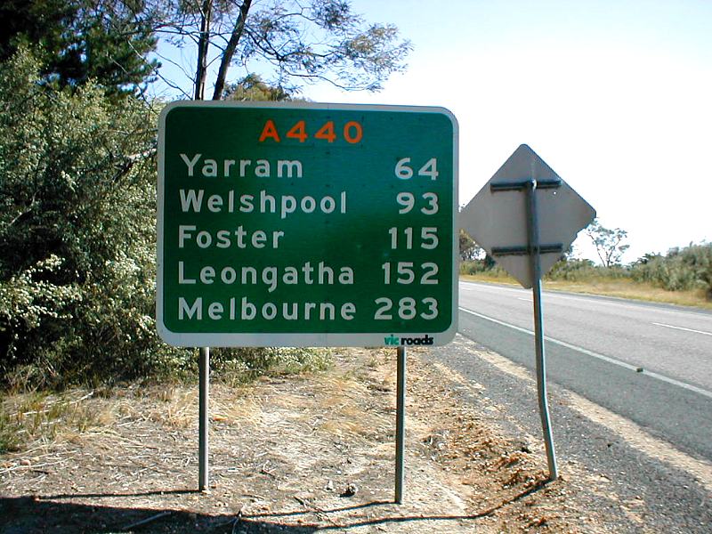
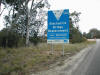
Reassurance sign. Listing the distances to major
destinations along the way. Note the A440 plate placed over the former B440
route.
Longford, Vic. |
 |
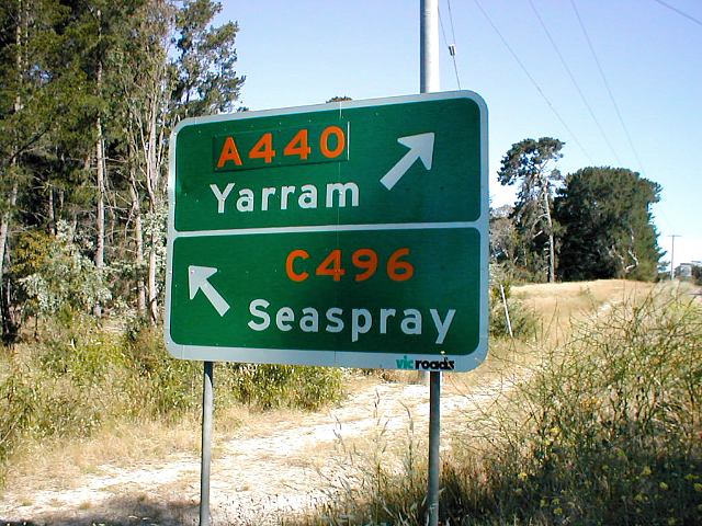
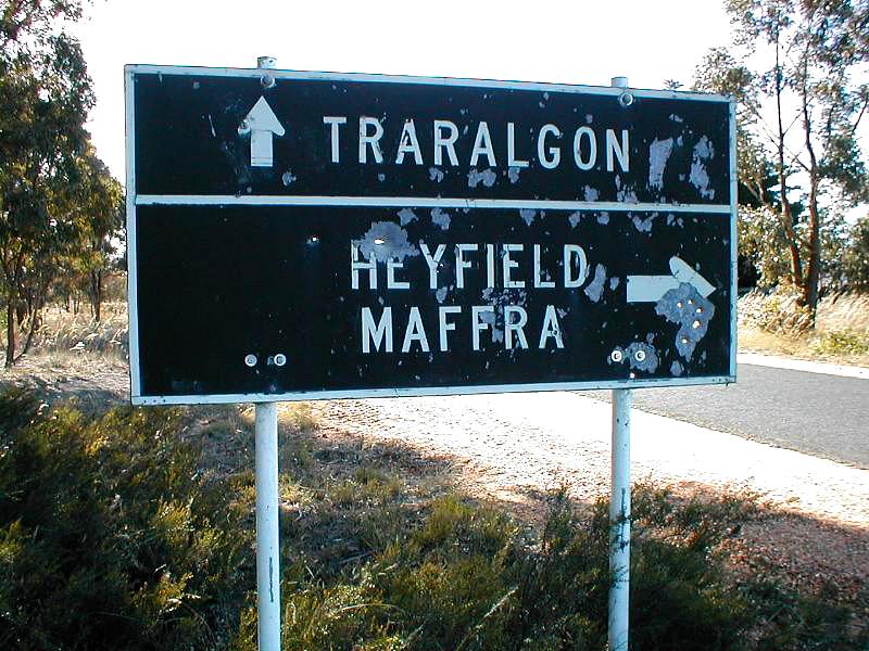
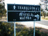
List (stack) sign. Destinations shown for
A440 (formerly B440) and C496 routes. Longford, Vic. |
 |
Earlier list sign. Example of an old
black and white sign listing destinations at a junction at the C105 route
ahead. Signs on C105 had been updated, but this one on a side road was
forgotten and still in use in 2004/5 Toongabbie, Vic. |
 |
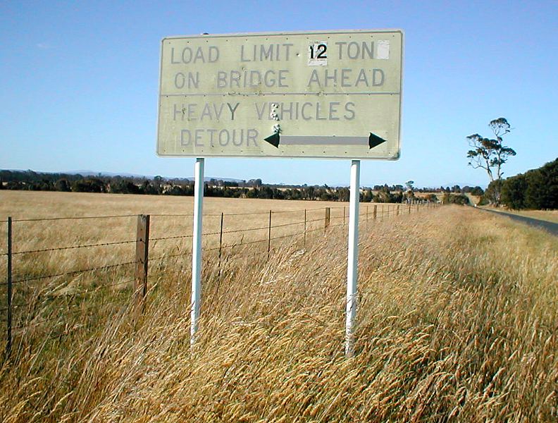
Load Limit Ahead - Heavy Vehicles Detour.
This sign warns of a load limit ahead. These generally refer to a bridge on
the road.
Cowwarr, Vic. |
 |
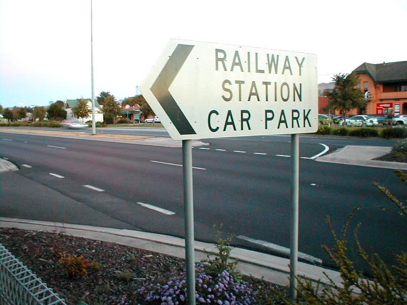
Railway Station Car Park. Directional
sign Yarragon. Vic. |
 |
Road Project. These large signs are
erected by the Government to let us know how lucky we are that they are
spending lots of our money on improving the roads. Although they don't say
whether the cost of the signs were included in the amount. :) Stratford,
Vic. |
 |
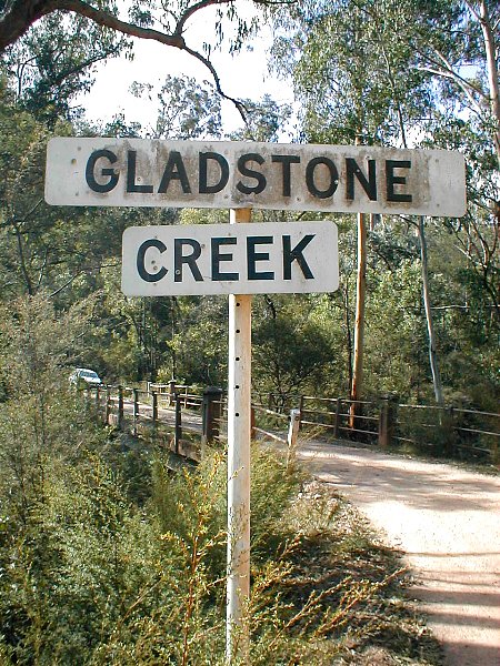
Watercourse name board. Creeks and Rivers
usually have signs advising their name. Here's an example of a typical
watercourse sign. Culloden, Vic. |
 |
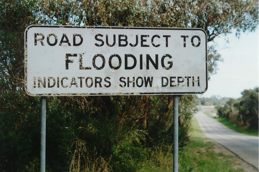
Road Subject to Flooding. There are many
places in Australia where roads are subject to regular or occasional
flooding. Often the section will be preceded by a sign like this.
Clydebank, Vic. |
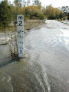 |
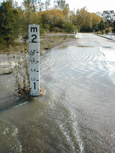
Flood depth marker. These depth
indicators show how deep the water is to allow drivers to assess their
vehicle's ability to negotiate the water. In many instances, as here, the
bottom of the indicator does not begin at 0. The indicator here shows almost
1 metre deep, although the water was only about 10cm deep. This is because
further along (on the other side of the low bridge) that water is actually
this depth as the road dips lower.
Personally, I have often wondered why it is that bridges in flood prone
areas are often built above known flood levels, but not the road approaches
either side.Stratford, Vic. |
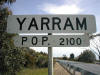 |
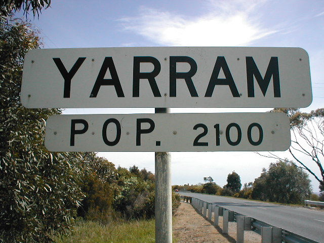
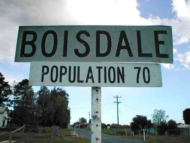
Town / City Name and population. In the
not too distant past, most town had these standard name plates on main roads
entering them. And often a smaller sign showing the number of people living
there... |
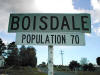 |
In more recent years, many have been removed and
replaced by larger, more welcoming signs by the local shire councils. As a
result, these kinds of signs are now a rarity. |
 |
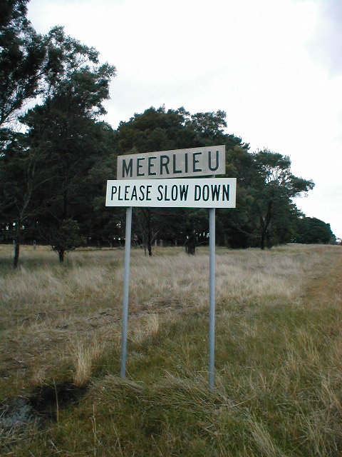
Town name - Please Slow Down. Here's
an even rarer version of the town entrance signs. In the days before all
places had speed limits in place, many towns simply had signs reading
"PLEASE SLOW DOWN". It is very unusual to find such signs today, but here's
a "modern" example in Meerlieu, Vic.... |
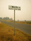 |
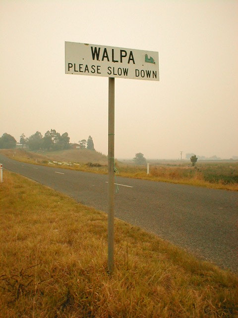
...and another at Walpa, Vic.
The smoke is from bushfires. |